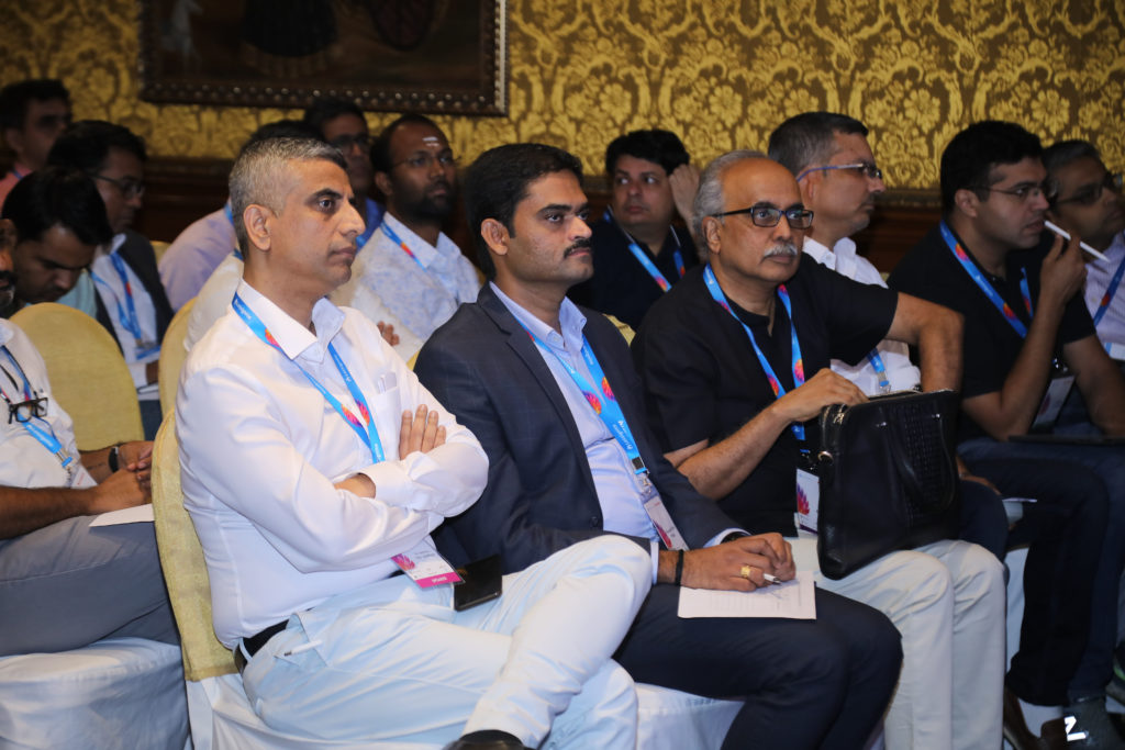
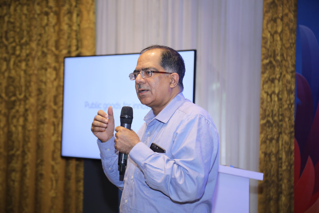
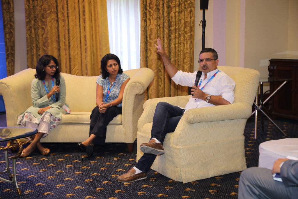
At the Fourth National Startup Advisory Council Meet held on 17.05.2022 under Hon’ble Minister of Commerce and Industry, Consumer Affairs, Food & Public Distribution, and Textiles Shri Piyush Goyal, the NavIC Grand Challenge (GC) was launched. The GC seeks to mainstream the use of NavIC and establish it as a domestic mapping solution.
iSPIRT has contributed to the development of this Grand Challenge. During the Third NSAC Meet, Sharad Sharma, Co-founder of iSPIRT and a member of the National Startup Advisory Council (NSAC), proposed the concept of prominence to NavIC as a domestic mapping solution.
Later, the iSPIRT Team, led by Captain Amit Garg and our volunteers Sayandeep Purkayastha, Captain George Thomas, and Tanuvi Thakur, presented the concept note and working paper on the GC to DPIIT (Dept for Promotion of Industry and Internal Trade).
Multiple rounds of discussion among the Department for Promotion of Industry and Internal Trade, Indian Space Research Organisation (ISRO), and iSPIRT Foundation brought the final shape to the working paper. All of this culminated in the launch of GC-NavIC on the 17th of May.
What is NavIC?
NavIC or Navigation of Indian Constellation is India’s independent regional satellite navigation system created by DOS/ISRO. Its signals are inter-operable with the civilian signals of the other navigation satellite systems namely GPS, Galileo, Glonass, and BeiDou. NavIC has made in-roads into civilian applications in India like vehicle tracking, power grid synchronization, location-based services (using mobile phones), disaster alert dissemination, etc. Efforts are being made to enable the incorporation of NavlC into drones, the maritime sector, wearable devices, time dissemination, geodesy, etc. The applications are being promoted by the availability of NavlC-enabled off-the-shelf chipsets & devices at competitive rates and by the adoption of NavlC in national and international industry standards.
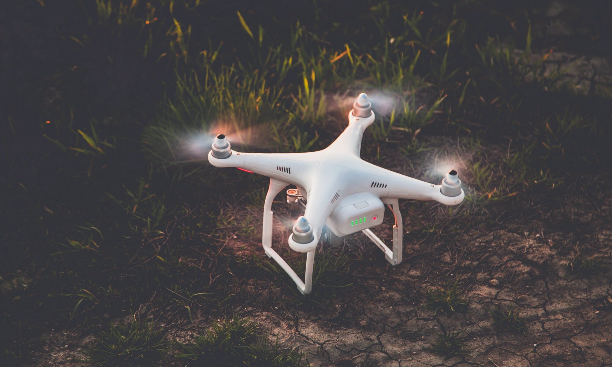
The GC is a step towards taking NavIC adoption further into the future, i.e. the future of AtmaNirbhar Mapping Solution. The GC brings together the triumvirate of NavIC, Agriculture, and Drones by becoming a big-bang thrust for the Kisan Drones Project as well.
The GC-NavIC
The GC-NavIC has an intersection with GOI’s Project Drone Shakti. It seeks to promote:
- The use of drones to solve the problem of agriculture insurance, i.e., the integration of the product to solve cases under the Pradhan Mantri Fassal Bima Yojana, is in line with the Government’s steps to harness technology for agricultural growth;
- Building a digital database of agricultural data that will supplement the digitization of land records and crop assessment measures of Drone Shakti;
- The use of ISRO’s homegrown NavIC technology in developing drones under the GC will promote the use of NavIC in the commercial drone landscape for remote sensing, imagery, mapping, etc.
The GC has invited innovative solutions that will utilize NavIC-enabled drones to capture data related to farm field topography, process this data, and make it available for use for commercial purposes. Ideas should be such that the product can be deployed across all terrain types in the country. Further, the captured and processed data should be viable and efficient for use within the Pradhan Mantri Fasal Bima Yojana (PMFBY) framework.
A detailed application process (here) calls for a detailed proposal of the tech specs of the participants’ product solution. This will be the basis for 25 participants selected for a presentation of their product before the Experts Panel. 7 selected participants on the basis of an objective and transparent selection criteria will compete in Phase 1 of the GC – the prototype deployment stage. In phase 2, the top 3 participants will compete towards fulfilling the problem statement by deploying their fully functioning product.
Transformative Powers of Challenge Grants
Challenge Grants have transformative powers and scalability opportunities that can serve as an impetus to quality innovation. Treatment Adherence for TB was the first challenge launched under the Grand Challenges in TB Control program. The aim was to devise solutions for improving tuberculosis screening, detection, and treatment outcomes. One of the participants, 99Dots, came up with a novel solution for low-cost monitoring and medication adherence program by using a combination of basic mobile phones and augmented blister packaging to provide real-time medication monitoring at a drastically reduced cost. By 2017-18, 99Dots was used across all districts in India and is now listed as a treatment program on the Government’s Nikshay portal.
The GC-NavIC through its intersection with Project Drone Shakti and the revamped operational guidelines of the PMFBY that emphasize tech-based solutions will help harness technology for agriculture and create opportunities for commercial utilization of NavIC. The recent ban on foreign drones by the Government will move the focus to domestic manufacturing. Encouraging local drones with local technology will increase the AtmaNirbhar potential in the drone and navigation ecosystem and enable Indian Startups to unlock the $5 billion drone market.
Conclusion
The GC-NavIC is touted to deliver three essential outcomes – better regulations in the drone and mapping space, ecosystem development, and channel of public money for private innovation. All three will lead to transformative innovations that will push India into modern agricultural practices and domestic mapping-navigation solutions.
The post is authored by our volunteer fellow, Tanuvi Thakur. She can be reached at [email protected].


