NavIC Grand Challenge Launched by Shri Piyush Goyal, Union minister on 17th May 2022

At the Fourth National Startup Advisory Council Meet held on 17.05.2022 under Hon’ble Minister of Commerce and Industry, Consumer Affairs, Food & Public Distribution, and Textiles Shri Piyush Goyal, the NavIC Grand Challenge (GC) was launched. The GC seeks to mainstream the use of NavIC and establish it as a domestic mapping solution.

iSPIRT has contributed to the development of this Grand Challenge. During the Third NSAC Meet, Sharad Sharma, Co-founder of iSPIRT and a member of the National Startup Advisory Council (NSAC), proposed the concept of prominence to NavIC as a domestic mapping solution.

Later, the iSPIRT Team, led by Captain Amit Garg and our volunteers Sayandeep Purkayastha, Captain George Thomas, and Tanuvi Thakur, presented the concept note and working paper on the GC to DPIIT (Dept for Promotion of Industry and Internal Trade). 

Multiple rounds of discussion among the Department for Promotion of Industry and Internal Trade, Indian Space Research Organisation (ISRO), and iSPIRT Foundation brought the final shape to the working paper. All of this culminated in the launch of GC-NavIC on the 17th of May.

What is NavIC?

NavIC or Navigation of Indian Constellation is India’s independent regional satellite navigation system created by DOS/ISRO. Its signals are inter-operable with the civilian signals of the other navigation satellite systems namely GPS, Galileo, Glonass, and BeiDou. NavIC has made in-roads into civilian applications in India like vehicle tracking, power grid synchronization, location-based services (using mobile phones), disaster alert dissemination, etc. Efforts are being made to enable the incorporation of NavlC into drones, the maritime sector, wearable devices, time dissemination, geodesy, etc. The applications are being promoted by the availability of NavlC-enabled off-the-shelf chipsets & devices at competitive rates and by the adoption of NavlC in national and international industry standards.

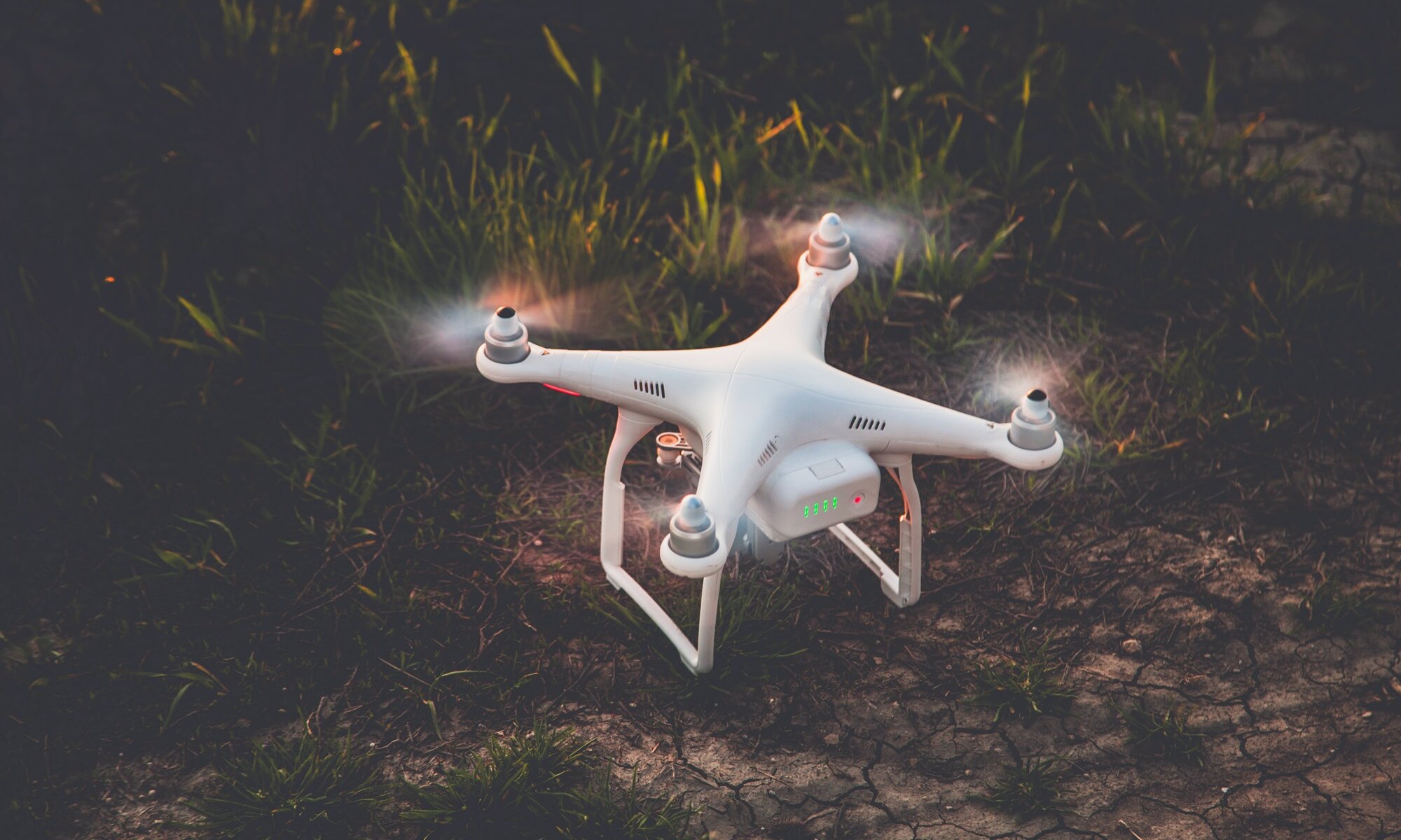
The GC is a step towards taking NavIC adoption further into the future, i.e. the future of AtmaNirbhar Mapping Solution. The GC brings together the triumvirate of NavIC, Agriculture, and Drones by becoming a big-bang thrust for the Kisan Drones Project as well.

The GC-NavIC

The GC-NavIC has an intersection with GOI’s Project Drone Shakti. It seeks to promote:

  1. The use of drones to solve the problem of agriculture insurance, i.e., the integration of the product to solve cases under the Pradhan Mantri Fassal Bima Yojana, is in line with the Government’s steps to harness technology for agricultural growth;
  2. Building a digital database of agricultural data that will supplement the digitization of land records and crop assessment measures of Drone Shakti;
  3. The use of ISRO’s homegrown NavIC technology in developing drones under the GC will promote the use of NavIC in the commercial drone landscape for remote sensing, imagery, mapping, etc.

The GC has invited innovative solutions that will utilize NavIC-enabled drones to capture data related to farm field topography, process this data, and make it available for use for commercial purposes. Ideas should be such that the product can be deployed across all terrain types in the country. Further, the captured and processed data should be viable and efficient for use within the Pradhan Mantri Fasal Bima Yojana (PMFBY) framework. 

A detailed application process (here) calls for a detailed proposal of the tech specs of the participants’ product solution. This will be the basis for 25 participants selected for a presentation of their product before the Experts Panel. 7 selected participants on the basis of an objective and transparent selection criteria will compete in Phase 1 of the GC – the prototype deployment stage. In phase 2, the top 3 participants will compete towards fulfilling the problem statement by deploying their fully functioning product.

Transformative Powers of Challenge Grants

Challenge Grants have transformative powers and scalability opportunities that can serve as an impetus to quality innovation. Treatment Adherence for TB was the first challenge launched under the Grand Challenges in TB Control program. The aim was to devise solutions for improving tuberculosis screening, detection, and treatment outcomes. One of the participants, 99Dots, came up with a novel solution for low-cost monitoring and medication adherence program by using a combination of basic mobile phones and augmented blister packaging to provide real-time medication monitoring at a drastically reduced cost. By 2017-18, 99Dots was used across all districts in India and is now listed as a treatment program on the Government’s Nikshay portal.

The GC-NavIC through its intersection with Project Drone Shakti and the revamped operational guidelines of the PMFBY that emphasize tech-based solutions will help harness technology for agriculture and create opportunities for commercial utilization of NavIC. The recent ban on foreign drones by the Government will move the focus to domestic manufacturing. Encouraging local drones with local technology will increase the AtmaNirbhar potential in the drone and navigation ecosystem and enable Indian Startups to unlock the $5 billion drone market.

Conclusion

The GC-NavIC is touted to deliver three essential outcomes – better regulations in the drone and mapping space, ecosystem development, and channel of public money for private innovation.  All three will lead to transformative innovations that will push India into modern agricultural practices and domestic mapping-navigation solutions.

The post is authored by our volunteer fellow, Tanuvi Thakur. She can be reached at [email protected]. 

Policy Hacks On India’s Digital Sky Initiative 1.0

On August 27, 2018, India announced its much-awaited Civil Aviation Regulations (CAR) for drones. The new CAR had many improvements on the original draft published last year, but most important was the introduction of Digital Sky, a technology platform that would handle the entire process of regulating the registration and permissions for all Remotely Piloted Aircraft Systems above the nano category, i.e. any remote controlled or automated flying object – multi-rotor or fixed-wing, electric or IC-engine. These set of regulations along with the announcement of Digital Sky drone policy represent the government’s “Drone Policy 1.0”.

What this policy isn’t?

From the outset, one of the largest criticisms of the draft was its seeming omission of beyond visual line of sight flights, as well as those of fully-autonomous operations. Combined with a ban on delivery of items, it would seem like the government is pre-emptively clamping down on some of the most promises of Unmanned Aerial Vehicles before they even begin.

But on close inspection, the Ministry of Civil Aviation has made an interesting & what looks to be a promising decision in naming this policy as “1.0”. Through the various public comments made by the Minister of State for Civil Aviation, Jayant Sinha, it can be gathered that there is a phased-approach being adopted for the planning and implementation of the government’s strategy for unmanned aerial vehicles.

The more complex commercial operations will be rolled out atop the digital platform, allowing the government to test the waters before allowing potentially risky operations.

At iSPIRT, we appreciate this data-driven, innovation-friendly yet safety-first approach that has been inherent to all of civil aviation.

What does the policy say?

The policy lays out a general procedure for registering, and taking permissions to fly for every type of remotely piloted aircraft system (RPAS). A good summary of the regulations themselves, what you need to fly, what you can and cannot do is given here. We will be focussing this blog post on demystifying Digital Sky and the surrounding technology – How it works, what it does and what should private players be doing about it.

What is Digital Sky?

Digital Sky is essentially a barebones Unmanned Aircraft Traffic Management system. An Unmanned Traffic Management is to drones what ATC is to aircraft. Most countries are looking to external UTM providers to build and run this digital enabling infrastructure. The government of India, in continuing its digital infrastructure as public goods tradition, has decided to build and run its own UTM to ensure that this critical infrastructure system remains committed to interoperability and is free from the risks of vendor capture in the long run. Digital Sky is the first version of such a UTM for managing drone flights in both controlled as well as uncontrolled airspaces.

For consumers, Digital Sky essentially constructed of three layers. The three layers are Online Registrations, Automated Permissions and Analytics, Tracking and Configurable Policies.

Online Registrations are the layers that onboard operators, pilots, RPAS and manufacturers on to the Digital Sky Platform. It will be a fully digital process, and applicants can track their applications online. All registered users will have an identity number, including the RPAS, which will get a Unique Identification Number (UIN). There is a private key attached to the UIN allowing the drone to prove it is who it claims to be through digital signatures.

Automated Permissions is the transaction layer that digitizes the process of seeking airspace clearance. Using Open APIs or a portal provided by the government, drones can directly seek permissions by specifying the geographic area, time of operations & pilot registration id, signed with the UIN of drone. In response to the API call or portal request, an XML file digitally signed by the DGCA is generated. This XML response is called the Permission Artefact.

All RPAS sold in India under the new policy must carry firmware that can authenticate such a Permission Artefact. Further, they must confirm that the flight parameters of the current mission match those given in the authenticated Permission Artefact. If these parameters do not match, the RPAS must not arm. This condition is referred to simply as No Permission, No Takeoff or NPNT. Thus, the requirement is that any RPAS (except nano) operated in India should be NPNT compliant. We will cover what it means to be NPNT compliant in part two of this series.

To deal with areas of low connectivity, this authenticated request can be carried prior to the flight itself, when connectivity is available. The Permission Artefact can be stored, carried and read offline by an NPNT-compliant RPAS with a registered UIN. Thus flight operations in remote or low-connectivity areas will not be severely impacted. While this seems tedious, it promises to be a lot easier than the draft regulations, which required the filing of flight plans 60 days in advance.

Digital Sky will classify all existing airspace into three colour-coded zones: Green Zones are where drones are pre-authorized to fly, but must still obtain a permission artefact to notify the local authorities of their intent to fly. On applying for permission, a permission artefact is returned instantly. Red Zones are where drone operations are forbidden from taking place. This includes areas such as airports, borders and other sensitive areas. Amber Zones are areas restricted by appropriate reasons as mentioned in the CAR where additional permissions are required. These requests are also initiated and managed through the Digital Sky Platform

Analytics, Tracking & Configurable (ATC) Policies is a shorthand for the regulatory functions that the DGCA will carry out to regulate the use of airspace by unmanned aircraft. It involves functions such as the classification of Red, Amber & Green zones, deconfliction of overlapping flights, incident response, etc.

The MoCA has articulated its desire for an ecosystem-driven approach to building out the drone industry. From an earlier draft of the No Permission No Takeoff technical document shared with manufacturers, it is expected that this layer of Digital Sky will be opened up to private players labelled as Digital Sky Service Providers (DSPs). We will cover more about Digital Sky Service Providers in part three of this series.

Conclusion

Digital Sky appears to be a move towards a more data-driven, phased-approach to policy and regulation for emerging technology. It is a global first and offers a truly forward-looking approach compared to most other nations.

For operators, in the long term, a formal system leads to an eco-system of authorised players, increase in trust, and rise of a legitimate industry. 

Note:  We have been actively following the Digital Sky policy development, Intend to bring in Part two of this blog after an active role out and implementation starts.